Welcome to the Kellylab page!
Welcome to the Kellylab website. Here I try to capture information about myself - Maggi Kelly - and my lab group. Our motto is "mapping for a changing California", and we use a range of geospatial data and analytics – from spatial modeling, remote sensing, drones, lidar, historical archives, surveys, participatory mapping, and the field - to gain insights about how and why California landscapes are changing, and what that change means for those who live on, use, and manage our lands. Here you will find information on people in our lab, our projects, and some connections to other groups and sites of interest. For more on geospatial technology on campus and around the state, check out the geospatial innovation facility (GIF), and the ANR Statewide Program on Informatics and GIS (IGIS). Enjoy, connect on twitter @nmaggikelly, check out the blog, and stay in touch.


2023 Welcome
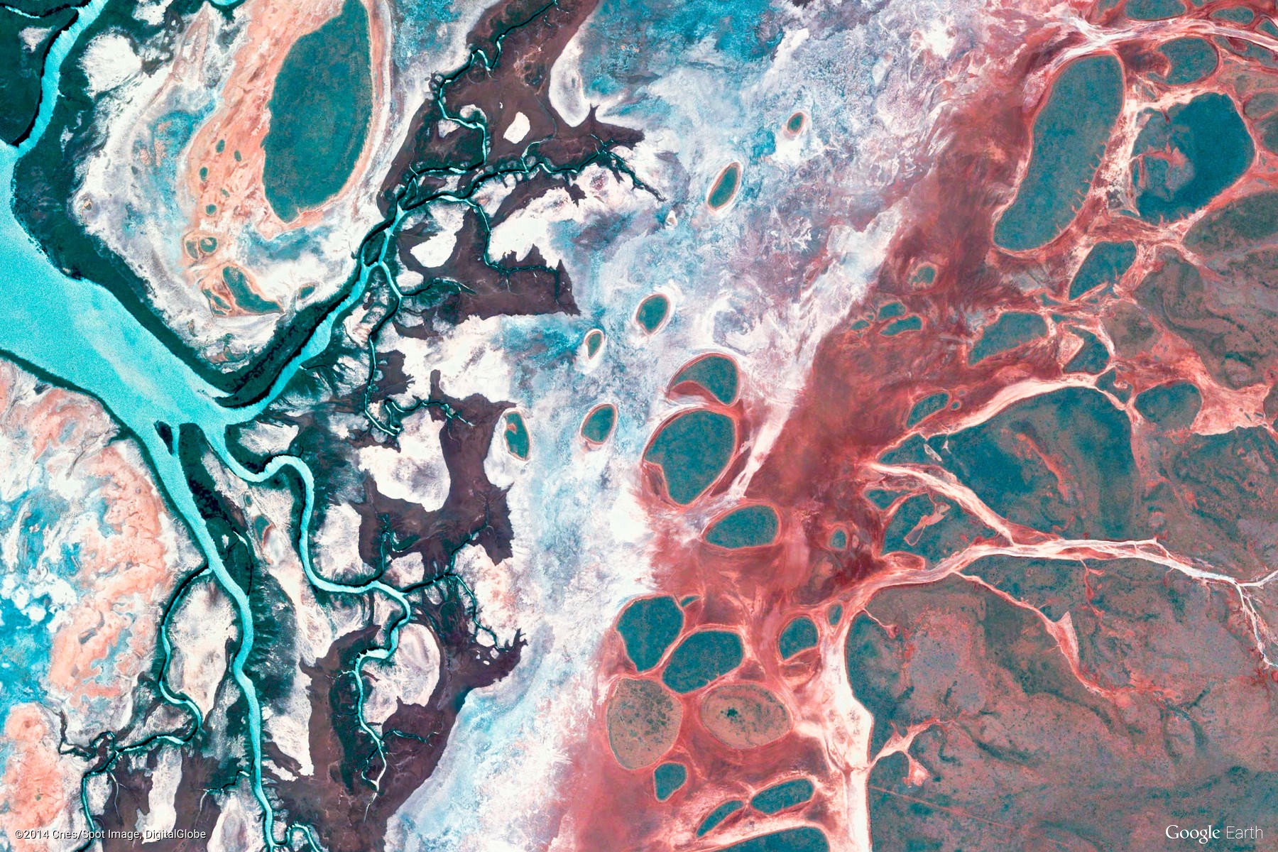
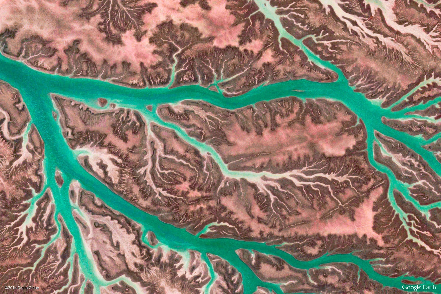
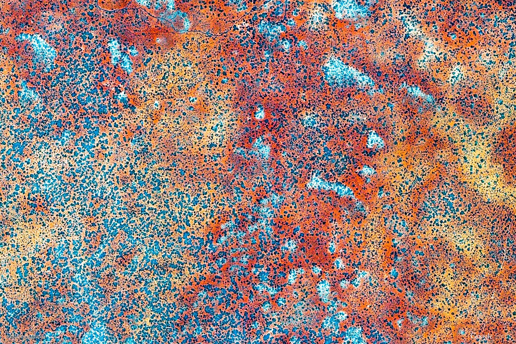
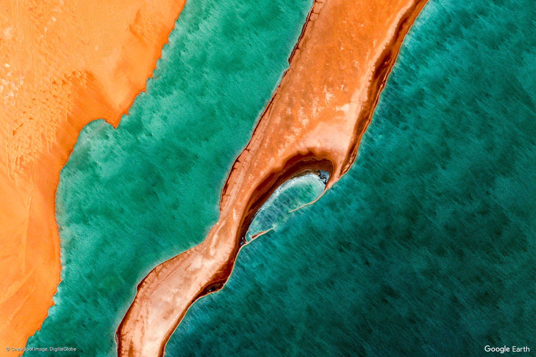
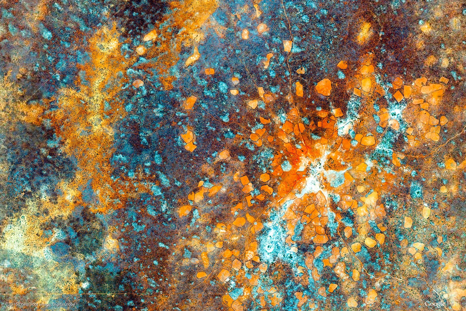
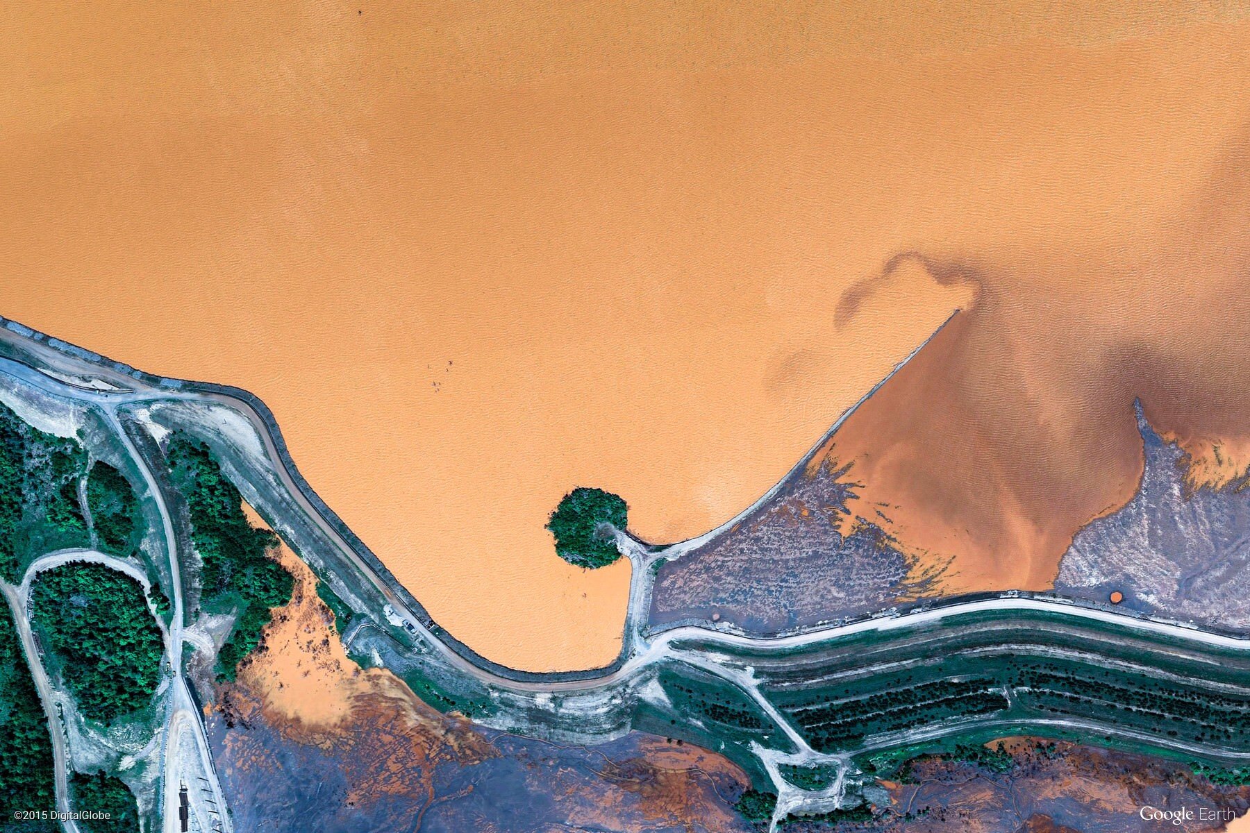
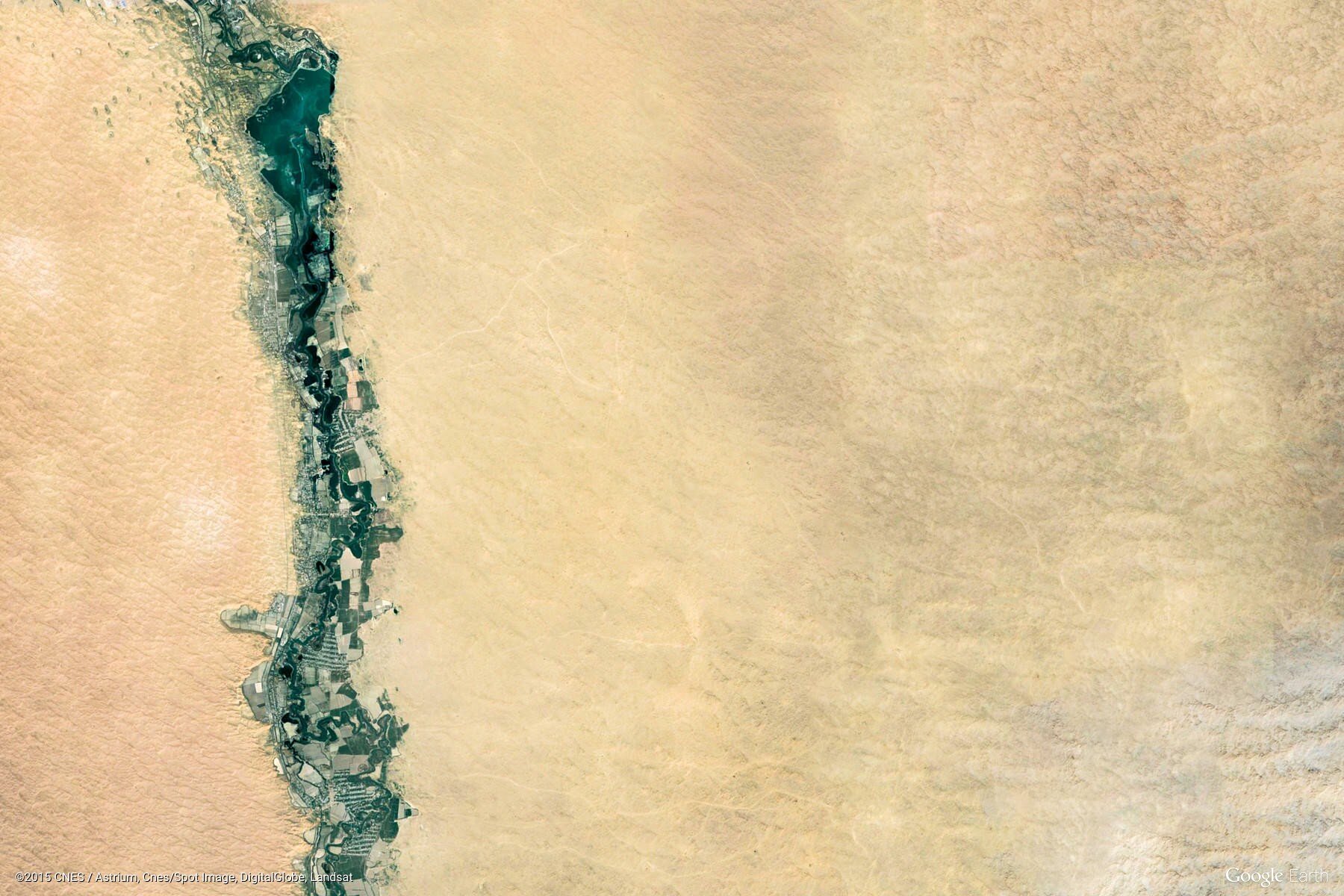
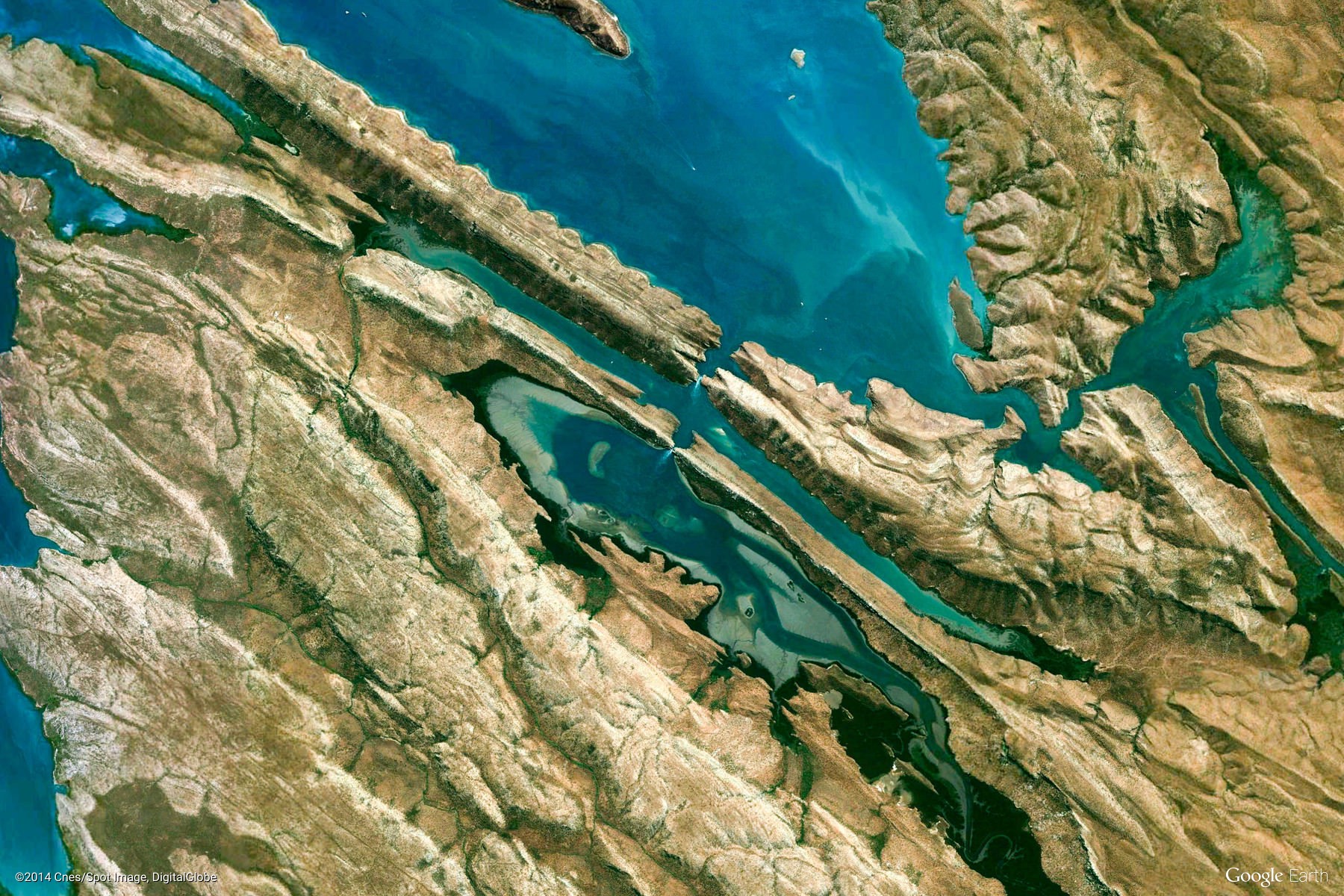
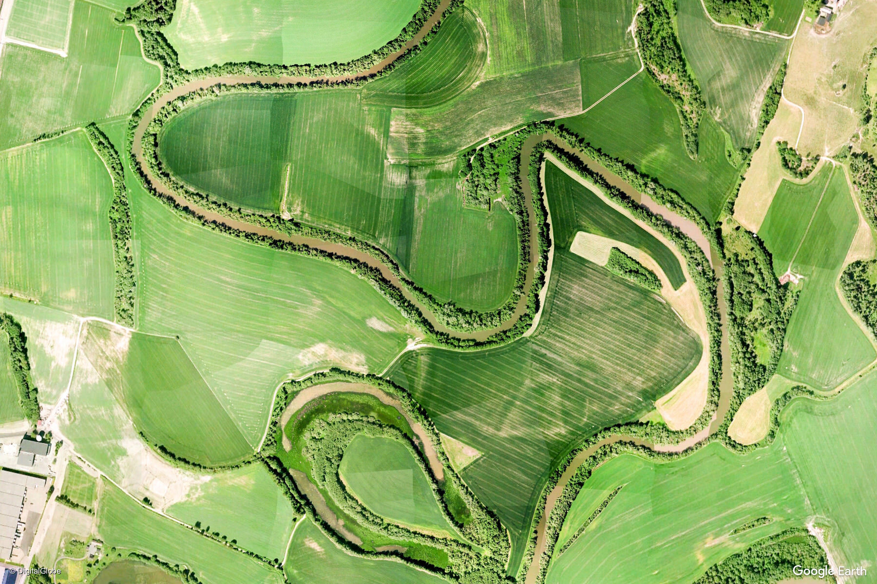
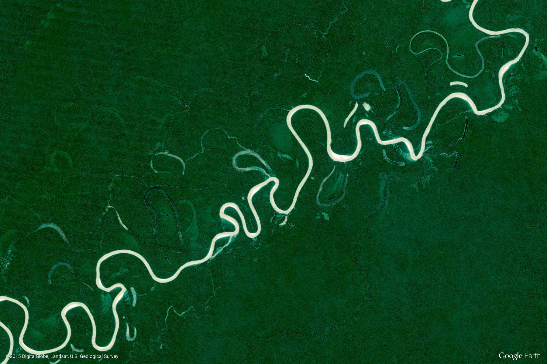
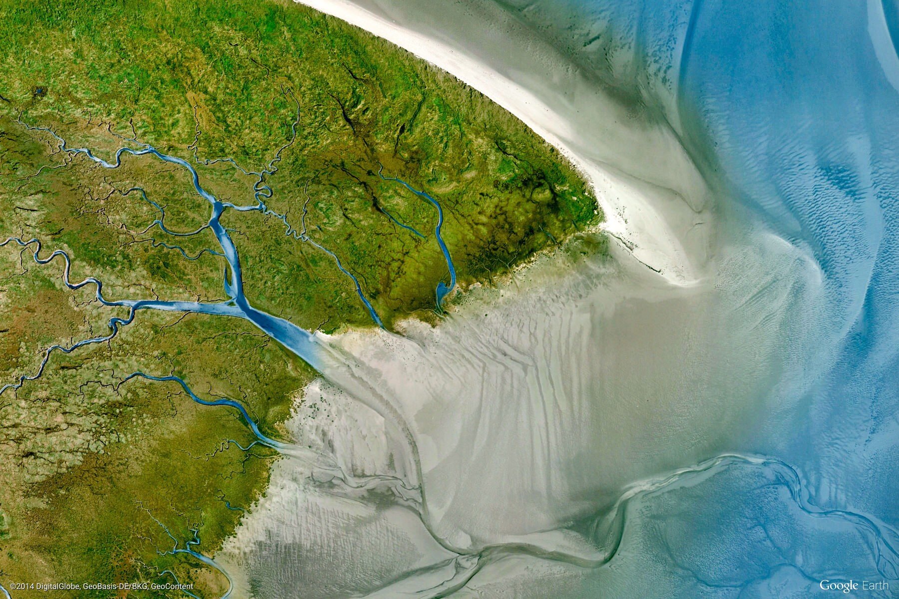
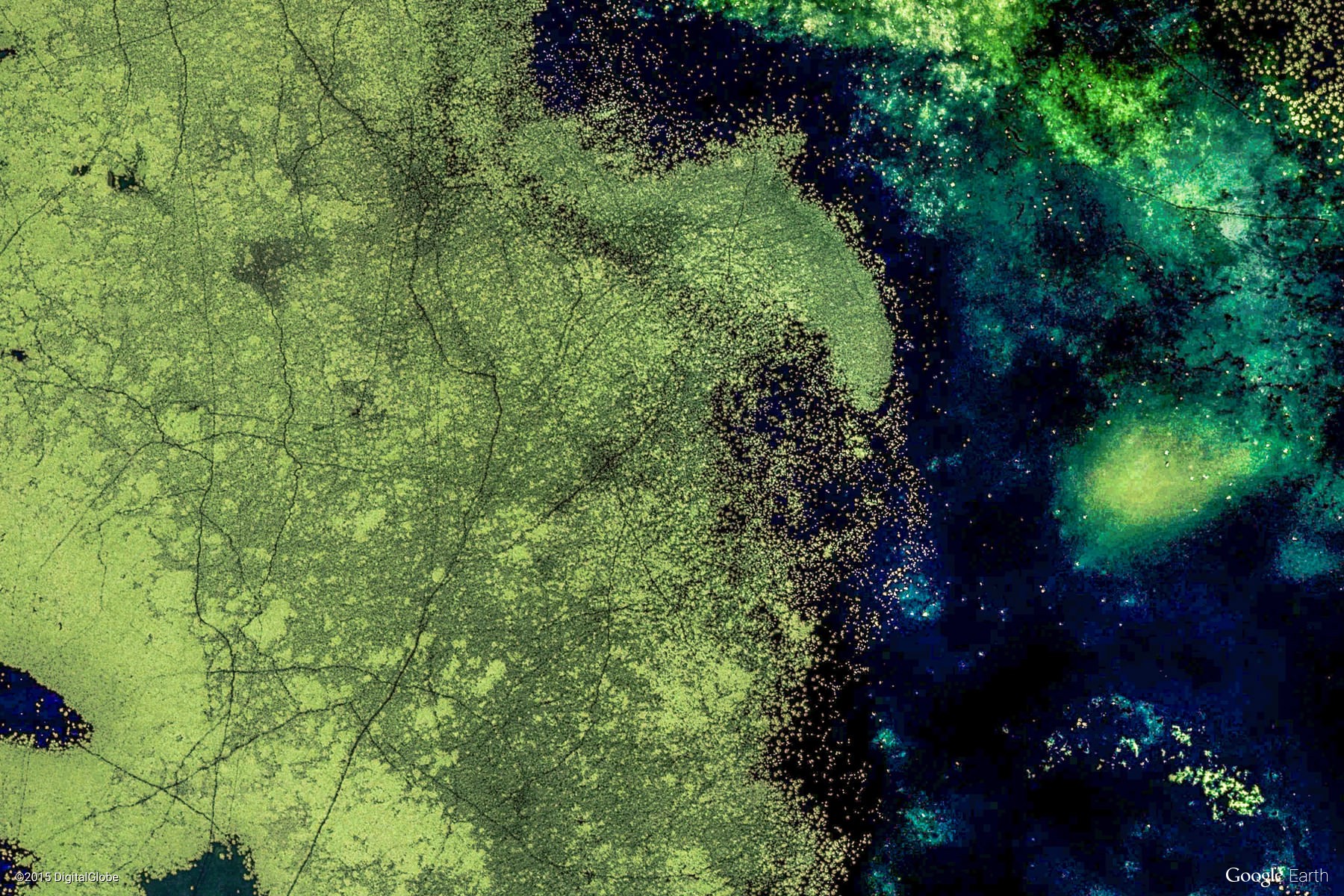
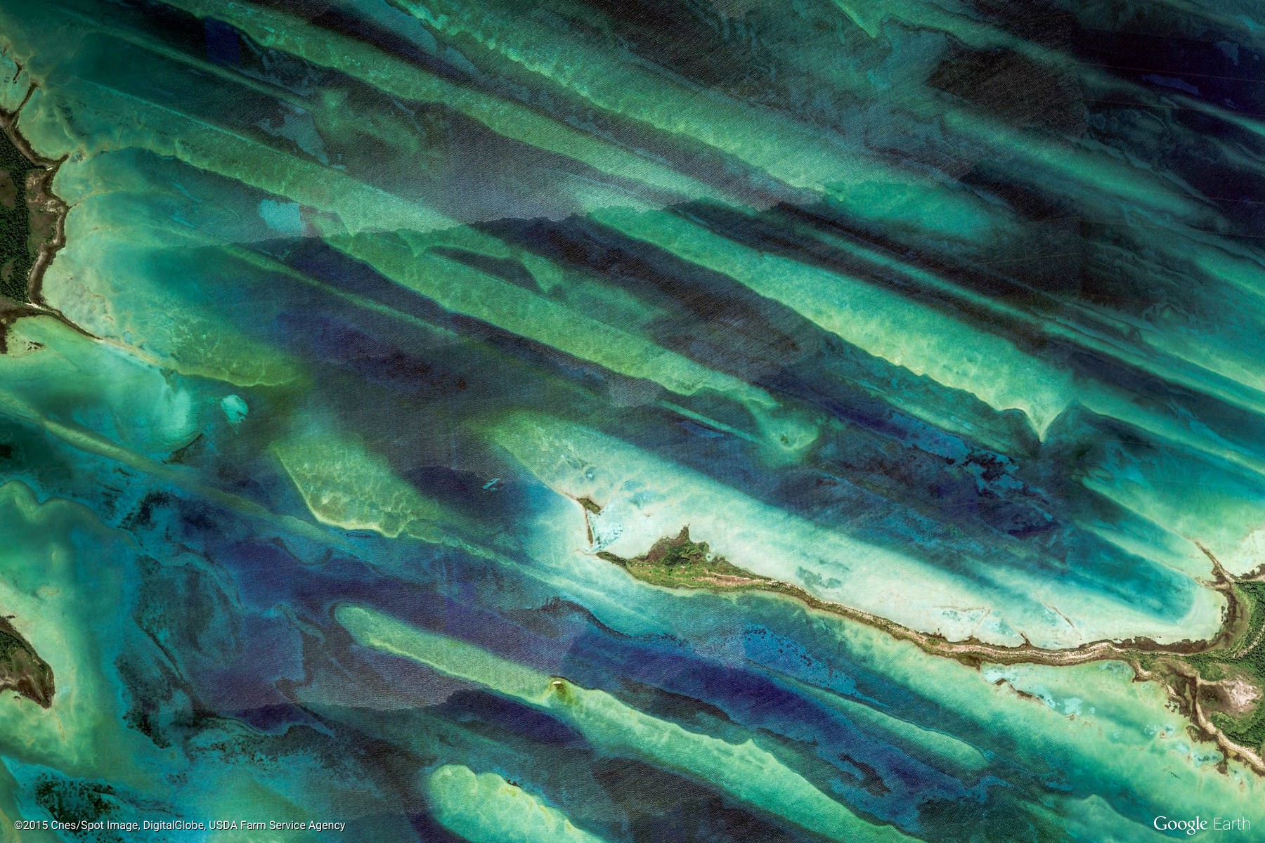
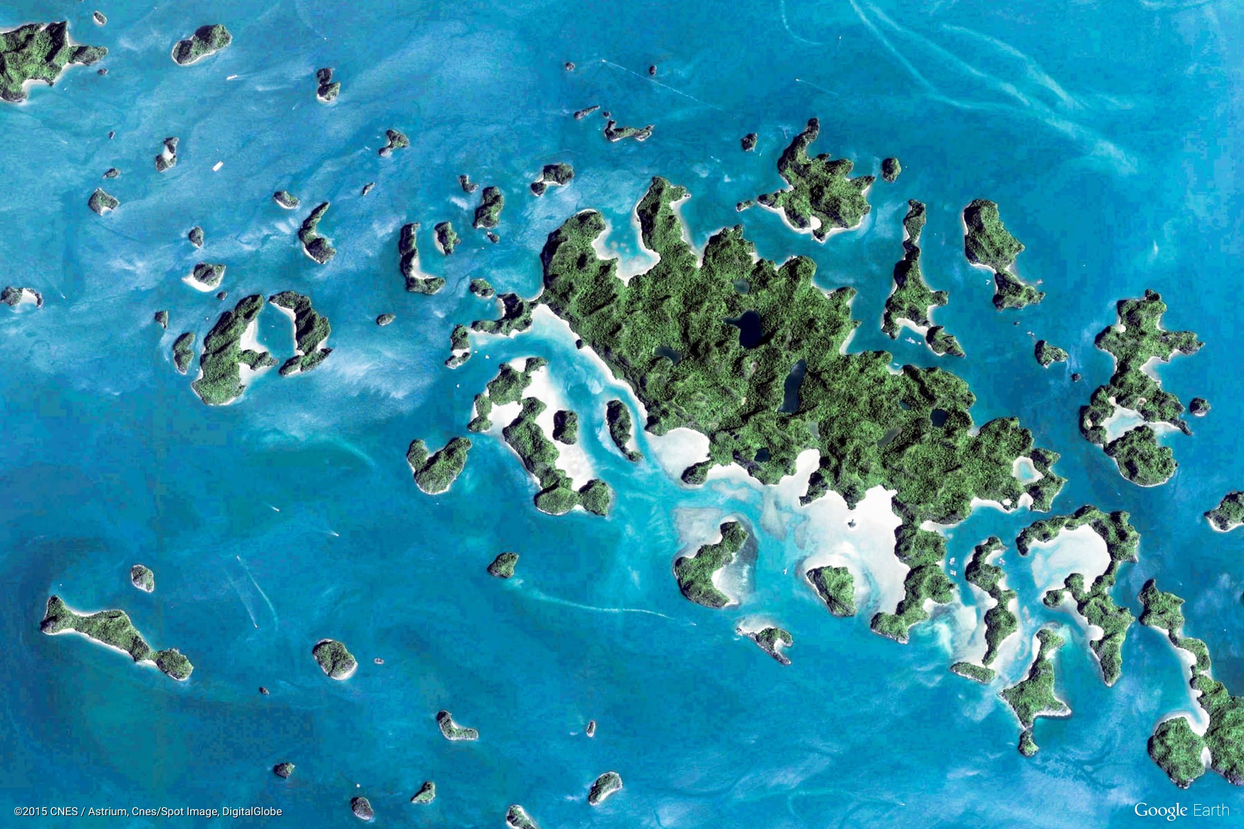
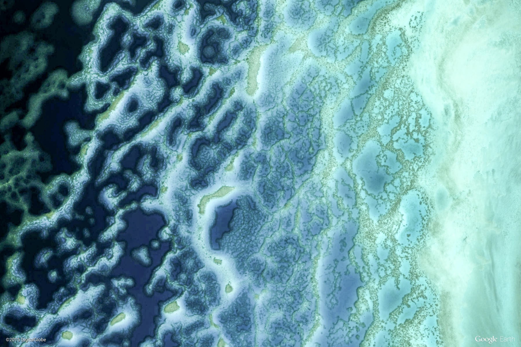
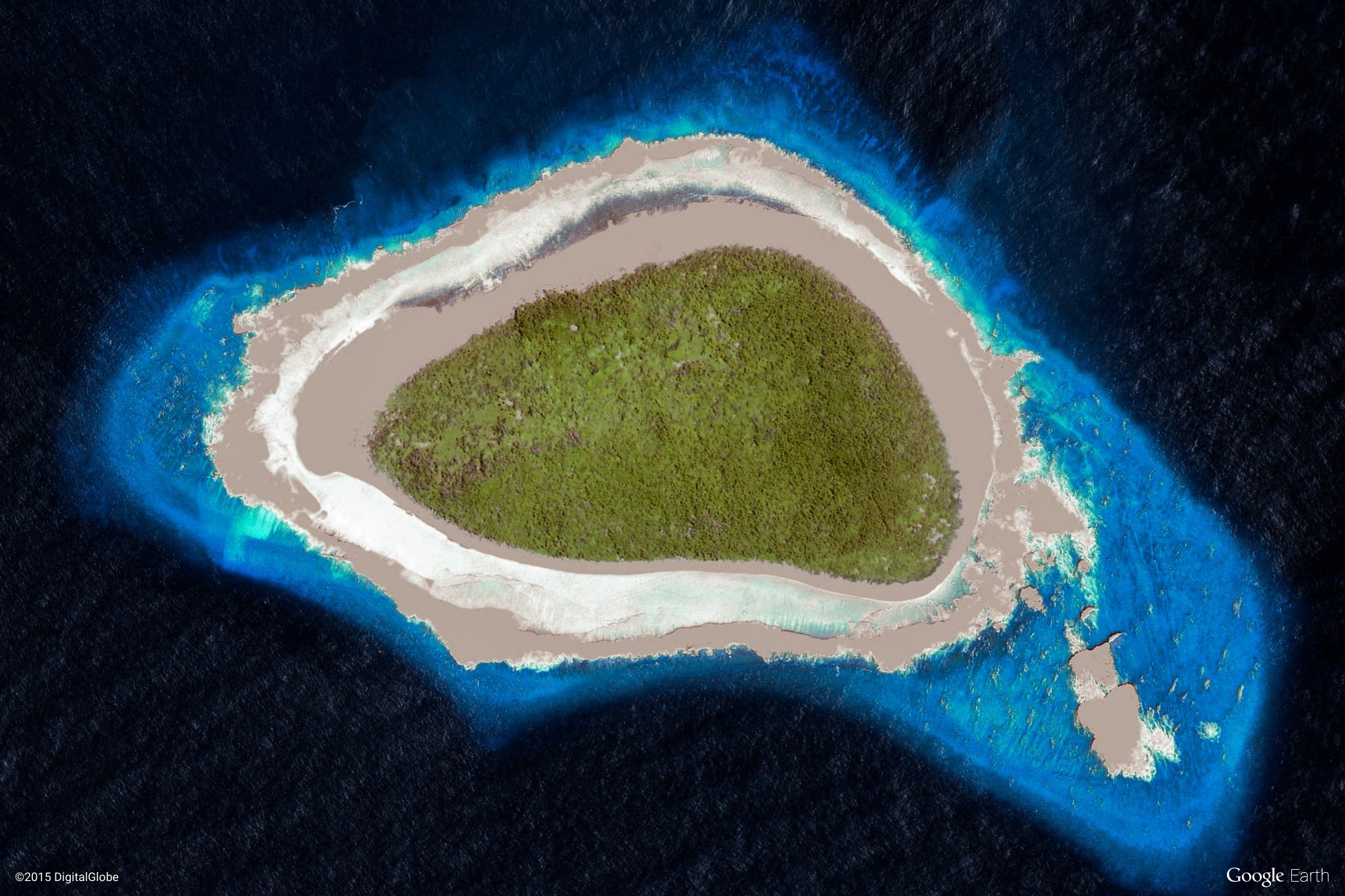
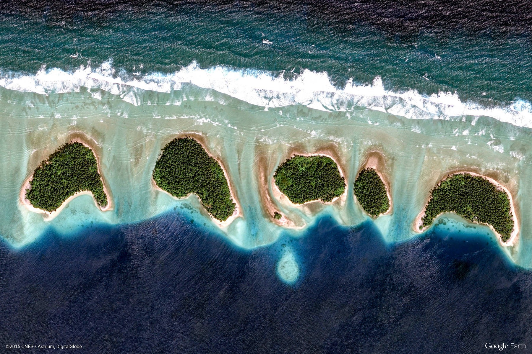
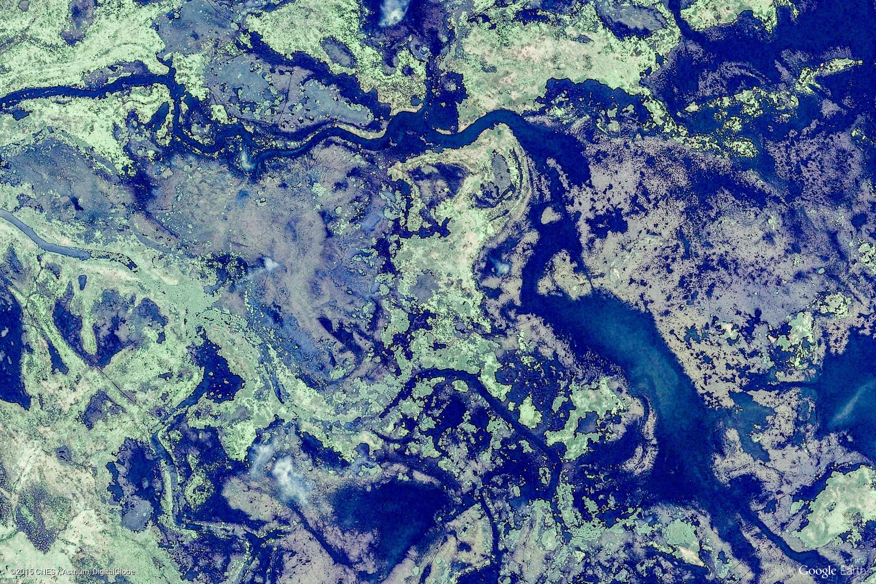
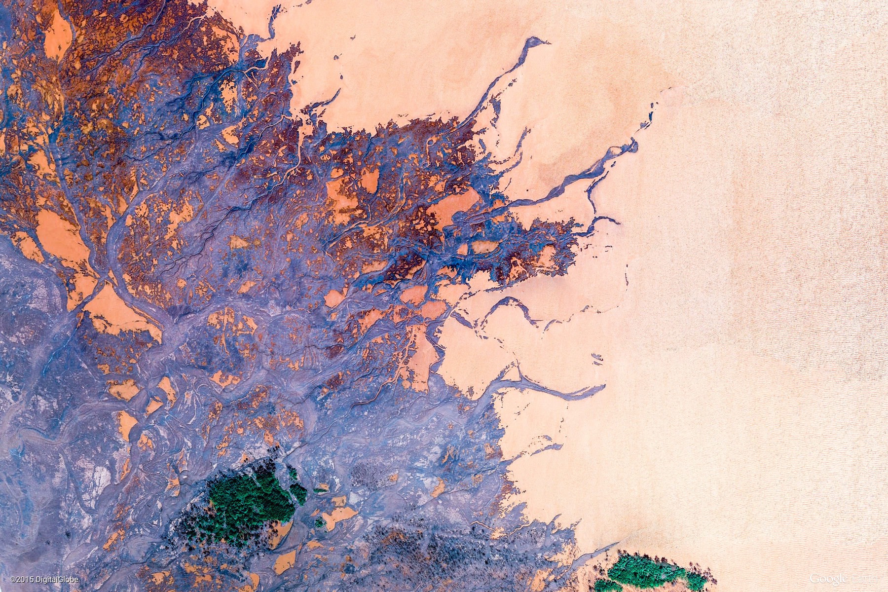
The images above are from GoogleEarth, and organized in color order: ROYGBIV. Aren't they pretty?
Want to know what we are up to? Check out the About page (about me, Maggi Kelly), the Work page (about my current work obsessions), the Publications page, and the Gallery page. Enjoy!
Also: My CV / my Google Scholar page / my Research Gate page.