GeoData @ Berkeley: find your Cali data here!
/ Search & find GIS data
GeoData@UC Berkeley: is the UC Berkeley Libraries' geoportal where users can search, preview, display, map, and download geospatial data in a variety of formats.
 The Earth Sciences & Map Library collects GIS data for areas around the world, with an emphasis on the nine county San Francisco Bay Area and northern California, and makes it available for use on the GIS workstations. Library users can download freely available data to use in their projects. The library also collects licensed GIS data that is accessible by library users who are affiliated with UC Berkeley.
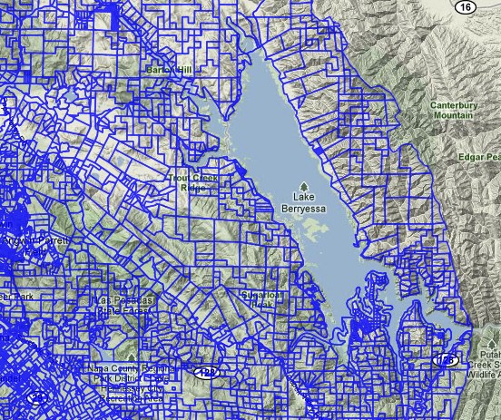
This example at left is a snapshot of Napa County parcel data.
http://gis.lib.berkeley.edu:8080/openGeoPortalHome.jsp