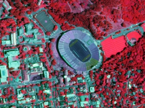
NAIP 2009 Color Infrared Released
/ NAIP Color infrared, June 19, 2009Color Infrared imagery acquired during the summer of 2009 are now available for download from Cal-Atlas. An index shapefile to identify the location of each image can be downloaded here (ZIP - 727KB).
The National Agriculture Imagery Program (NAIP) is tasked with providing access to high-resolution aerial image data on a state-by-state basis.
These images are 1 meter resolution, 4 band GeoTIFFs that contain all of the natural color and infrared channels.
Direct links to all of the California NAIP products are maintained on the GIF's website. Currently, NAIP data is available for both 2005 and 2009.