Wrap up from #DroneCamp2017!

UC ANR's IGIS program hosted 36 drone enthusiasts for a three day DroneCamp in Davis California. DroneCamp was designed for participants with little to no experience in drone technology, but who are interested in using drones for a variety of real world mapping applications. The goals of DroneCamp were to:

  • Gain an broader understanding of the drone mapping workflow: including
    • Goal setting, mission planning, data collection, data analysis, and communication & visualization
  • Learn about the different types of UAV platforms and sensors, and match them to specific mission objectives;
  • Get hands-on experience with flight operations, data processing, and data analysis; and
  • Network with other drone-enthusiasts and build the California drone ecosystem. 

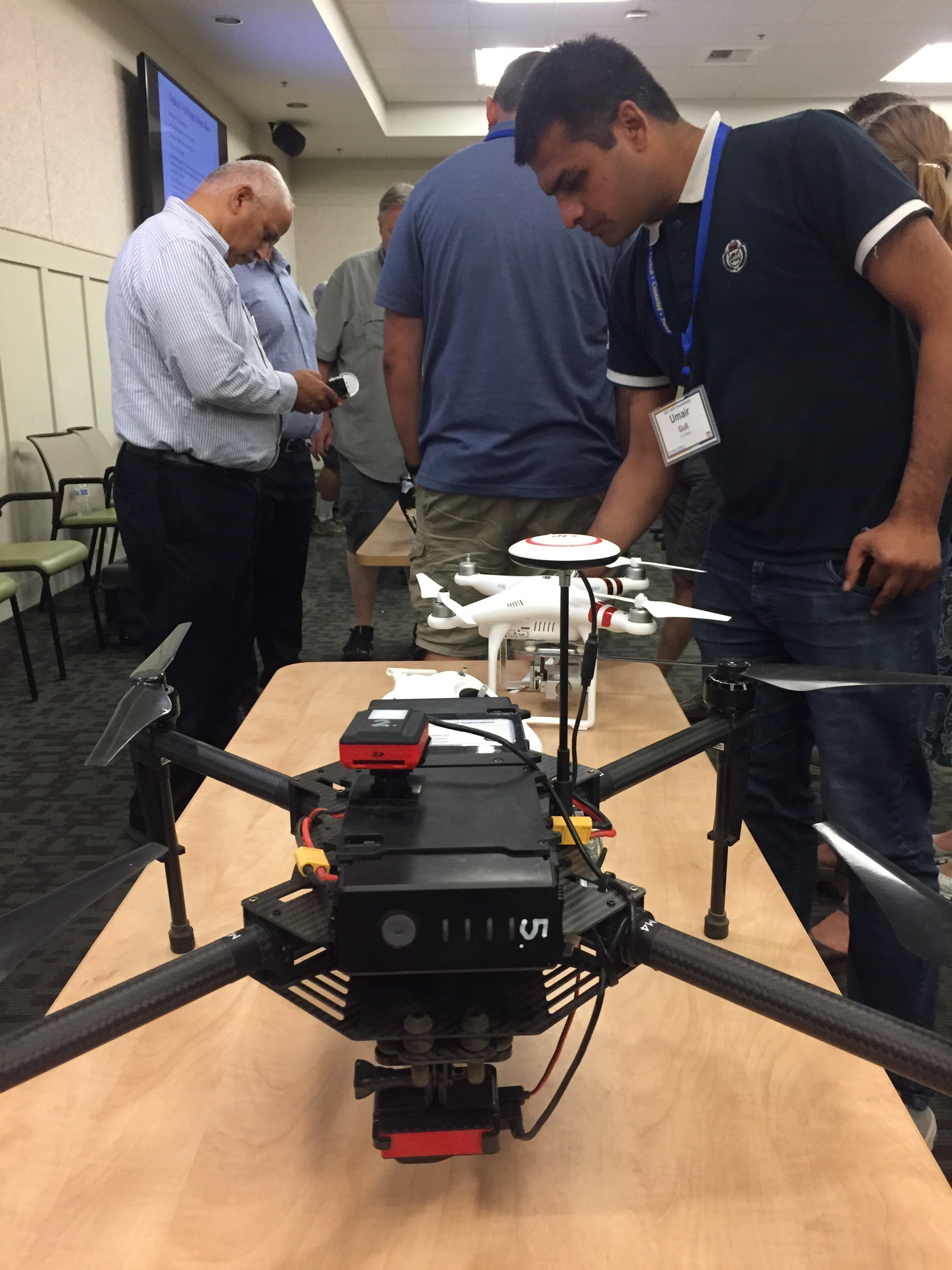
The IGIS crew, including Sean Hogan, Andy Lyons, Maggi Kelly, Robert Johnson, Kelly Easterday, and Shane Feirer were on hand to help run the show. We also had three corporate sponsors: GreenValley Intl, Esri, and Pix4D. Each of these companies had a rep on hand to give presentations and interact with the participants.

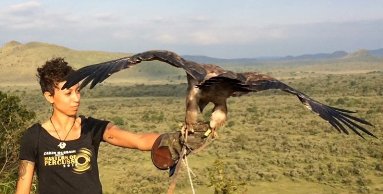
Day 1 of #DroneCamp2017 covered some of the basics - why drone are an increasingly important part of our mapping and field equipment portfolio; different platforms and sensors (and there are so many!); software options; and examples. Brandon Stark gave a great overview of the Univ of California UAV Center of Excellence and regulations, and Andy Lyons got us all ready to take the 107 license test. We hope everyone here gets their license! We closed with an interactive panel of experienced drone users (Kelly Easterday, Jacob Flanagan, Brandon Stark, and Sean Hogan) who shared experiences planning missions, flying and traveling with drones, and project results. A quick evaluation of the day showed the the vast majority of people had learned something specific that they could use at work, which is great. Plus we had a cool flight simulator station for people to practice flying (and crashing).

Day 2 was a field day - we spent most of the day at the Davis hobbycraft airfield where we practiced taking off, landing, mission planning, and emergency maneuvers. We had an excellent lunch provided by the Street Cravings food truck. What a day! It was hot hot hot, but there was lots of shade, and a nice breeze. Anyway, we had a great day, with everyone getting their hands on the commands. Our Esri rep Mark Romero gave us a demo on Esri's Drone2Map software, and some of the lidar functionality in ArcGIS Pro.

Day 3 focused on data analysis. We had three workshops ready for the group to chose from, from forestry, agriculture, and rangelands. Prior to the workshops we had great talks from Jacob Flanagan and GreenValley Intl, and Ali Pourreza from Kearney Research and Extension Center. Ali is developing a drone-imagery-based database of the individual trees and vines at Kearney - he calls it the "Virtual Orchard". Jacob talked about the overall mission of GVI and how the company is moving into more comprehensive field and drone-based lidar mapping and software. Angad Singh from Pix4D gave us a master class in mapping from drones, covering georeferencing, the Pix4D workflow, and some of the checks produced for you a the end of processing.

One of our key goals of the DroneCamp was to jump start our California Drone Ecosystem concept. I talk about this in my CalAg Editorial. We are still in the early days of this emerging field, and we can learn a lot from each other as we develop best practices for workflows, platforms and sensors, software, outreach, etc. Our research and decision-making teams have become larger, more distributed, and multi-disciplinary; with experts and citizens working together, and these kinds of collaboratives are increasingly important. We need to collaborate on data collection, storage, & sharing; innovation, analysis, and solutions. If any of you out there want to join us in our California drone ecosystem, drop me a line.

Thanks to ANR for hosting us, thanks to the wonderful participants, and thanks especially to our sponsors (GreenValley Intl, Esri, and Pix4D). Specifically, thanks for:

  • Mark Romero and Esri for showing us Drone2Map, and the ArcGIS Image repository and tools, and the trial licenses for ArcGIS;
  • Angad Singh from Pix4D for explaining Pix4D, for providing licenses to the group; and
  • Jacob Flanagan from GreenValley Intl for your insights into lidar collection and processing, and for all your help showcasing your amazing drones.

#KeepCalmAndDroneOn!

Hopland Bioblitz is on!

Our big Hopland scientific bioblitz is this weekend (9-10 April, with some events on the 8th) and I look forward to seeing many of you there. If you can't make it to HREC, there are many ways you can remotely help us and check out what is happening all weekend long.

HELP US OUT. http://www.inaturalist.org/ Many people will be using iNaturalist to make and share observations. Helping out the effort is easy. Look for observations at the iNaturalist site by searching for "Hopland" in the "Projects" pulldown menu and choose "Hopland Research Extension Center". Once there, you can browse the plants and animals needing identification and needing confirmation. Every identification counts toward our goal of massively increasing the knowledge of the HREC's flora and fauna.

VOTE ON IMAGES.  http://www.hoplandbioblitz.org/ We are hosting an image contest for the plants and animals of HREC. Great prizes will be given  for images that get the most votes(REI gift cards and a GoPro grand prize!). Please visit the site and vote for your favorites frequently during the weekend and share them and then sit back and what the slide show.  

CHECK US OUT. http://geoportal.ucanr.edu/# Our new app will graphically show you our progress for the bioblitz observations. Results will be updated every 15 minutes. See how your favorite groups are doing in the challenge to document as many species as possible.

Look for #HoplandBioblitz on Twitter and Instagram

Follow along on Facebook https://www.facebook.com/HoplandREC/

Kelly Lab SPUR Students Visit Point Reyes National Seashore

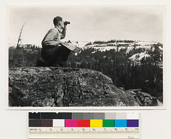
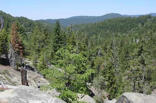
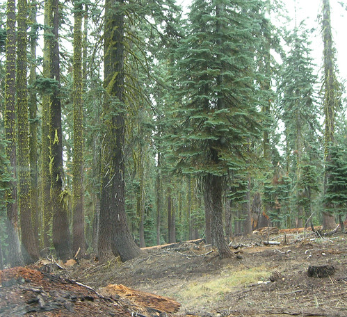
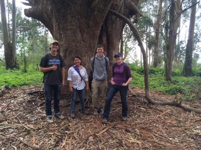
Kelly Lab SPUR Students Drew Adamski and Ryan Avery have been participating in lab research all semester.  In particular they have been helping classify trails within the Pacific West's National Parks.  This month we were lucky enough to travel out with them to Point Reyes National Seashore to see some of those trails in person.  We were also lucky enough to spend the day with Chief Ranger Schifsky who was kind enough to talk to us about what issues different trails in the park were facing and which trails seemed to be changing most rapidly.  Chief Schifsky was also kind enough to show us some of the points in the park where the landscape had changed dramatically over time due to fire, restoration projects, or differing management strategies.  Overall it was a really inspiring and informative trip!

Mobile Field Data Collection, Made Easy

Recommendation from Greeninfo Network's MapLines newsletter:

"Attention land trusts, weed mappers, trail maintainers and others - Are you ready for the Spring field work season?  GreenInfo recommends using this customizable, free app for collecting data in the field - Fulcrum App, which offers a free single user plan for storing up to 100 mb of data."

According to their website, with Fulcrum, you build apps to your specifications, allowing you to control exactly what data is captured from the field and how. Maintain high standards of quality to minimize rework, QA/QC, and error correction by getting it done right the first time.

Denali Repeat Photography Project

an example from the Denali ProjectFrom Shasta: along the lines of our VTM photo reshoot project, here is a far more advanced example - the Denali Repeat Photography Project.

he Denali Repeat Photography project has assembled more than 200 photo pairs taken across a large cross-section of Denali from the low-lying black spruce forests to ice fields high in the Alaska Range.  What unites these disparate images is that they show repeated views of a single location at different moments in time.  The interval separating the pairs of photos varies greatly – from just a few years to longer than a century!

U.S. Forest Service and UC study ways to reduce wildfire severity

New article in the UC Green Blog on our SNAMP project, written by Kim Ingram. Includes some great field pics!

The University of California Cooperative Extension (UCCE) recently co-hosted a field trip with the U.S. Forest Service to view the implementation of a forest fuels reduction project on the Tahoe National Forest.

Over 45 stakeholders, including representatives of state, federal, and local government, industry and environmental groups and local residents attended to see the project, known as the "Last Chance Project," which involves thinning the forest by removing small and medium-sized trees, masticating or mowing down brush, and burning dead material through prescribed fire. The work, being done by Sierra Pacific Industries, under contract to the U.S. Forest Service, should be completed by fall 2012.

Weed Day 2011 comes to UC Davis July 14

Weed Day 2011 comes to UC Davis July 14

The latest developments in weed control will take center stage at UC Davis once again when scores of scientists, students, regulators and more gather July 14 for the 55th annual Weed Day. 

“We look forward to another great turnout with a wide range of weed-control demonstrations,” said Cooperative Extension Specialist Brad Hanson from the UC Davis Department of Plant Sciences, who is chairing this year’s popular event. “Weed Day provides a great opportunity to see, first hand, weed research being conducted on campus and to find out what we are doing throughout the state.”

Among the presentations will be weed control in fresh-market tomato, residual herbicides in almonds and walnut orchards, symptomology of herbicide drift in row crops, thermal soil disinfestation research, weed-risk assessment for the horticulture industry and many more ongoing projects with other crops and non-crops. For a full agenda, click here or visit http://wric.ucdavis.edu.

Weed Day is held each July to give pest control advisors, farm advisors, chemical company cooperators, college faculty, students and regulatory officials the opportunity to learn more about current weed science research at UC Davis. The event begins at 7:30 a.m. with registration and a morning bus tour to the campus research fields to view demonstrations and research in terrestrial and aquatic weed control. Lunch and afternoon presentations will be held indoors and will wrap up by 4:30 p.m. Continuing education credits have been requested from the Department of Pesticide Regulation.

Cost is $65 for those who register and pay before July 6 and $90 for those register after that date. The cost for students with ID is $20. Class size is limited so early enrollment is always a good idea.

Registration is open:

On-line registration (credit card only)
On-line registration (UC recharge number only)
Print registration form to fax or mail.

For more details, see Weed Day 2011.


Bing Maps adds new enhanced features

Bing Maps, Microsoft's online mapping application, has just launched a big update in Bing Maps Beta with lots of cool new features.  As you will see, the new maps site requires the installation of "silverlight" which you will be prompted to install, but it can be used in most ie, firefox, or safari browsers. 

Though there are many new features, be sure to check out the "Streetside" viewer, Microsoft's answer to Google's Street view.  Streetside takes a similar aproach in displaying photos along streets, but also takes advantage of the building surfaces for 3D viewing.


Check it: mapping streambed from a kayak

You've got to watch this video. I love these dudes. Originally from the Map Room.

The project uses an innovative underwater video system that takes Global Positioning System (GPS) digital data and stores it continuously on the audio track of the DVD as the kayak floats down river.
Simultaneously, the river’s surface features are recorded using a similar geo-referenced video camera. Images from both video cameras are downloaded into a Geographic Information System (GIS) to produce digital maps that depict the stream in minute detail, above and below the surface.

The VTM photo-hunt is on (at least in the Bay Area)

I am reinvigorating the mission to re-shoot the VTM photos. At least in the Bay Area. This was prompted by the recent Berkleyan article about the new UC reserve in Santa Clara County ("preserves oak-woodland ecosystem at urban/wildland interface"). I thought "I wonder if there are any pictures of the area from the VTM collection?" and had a search this weekend. Sure enough, there are some nice ones. So I've geo-located a few from around the bay to get us started. Any ideas on: automating the process; making an easy site to upload paired photos; an easy way to link Township/Range queries into gmaps... Any volunteers to do Santa Cruz County? Lots of great pics there. And check out the local logging history documented in the photos of the New Almaden quad.