Livehoods: Dynamic maps of place via social networking
/Livehoods is an interesting research project from the School of Computer Science at Carnegie Mellon University which maps social networking activity and patterns using tweets and check-ins to examine the hidden structure of cities and neighborhoods. For example below on the map each point represents a check-in location. Groups of nearby points of the same color represent a Livehood. Within a Livehood statistics are calculated aggregating check-ins overtime and depicts how a place is used. For more information on Livehoods click here.
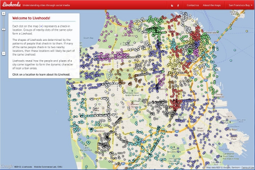 Livehoods Screenshot