The San Francisco folio, including Tamalpais, San Francisco, Concord, San Mateo, and Haywards quadrangles, California is available as scanned pages (and maps) from the Texas A&M library project. This folio is part of the Geologic Atlas of the United States, a set of 227 folios published by the U.S. Geological Survey between 1894 and 1945. Each folio includes both topographic and geologic maps for each quad represented in that folio, as well as description of the basic and economic geology of the area. This is Folio 193, published in 1914. This edition has the charming and berkeley-relevant reference: "Geology by Andrew C. Lawson, assisted at various times by students of the University of California." You go Bears.
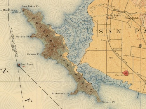
 Pre- Richmond-San Rafael bridge view of Pt. San Pablo and Richmond
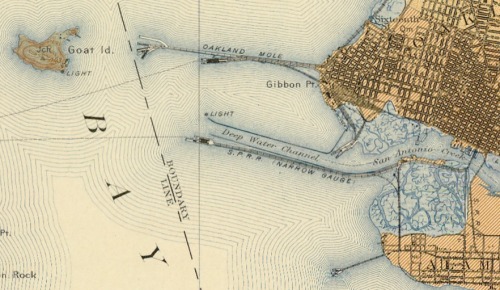
 This is the bay bridge plan... Goat Island is Treasure Is., there was a narrow gauge railway from Oakland for shipments to SF and beyond.The repository interface with integrated Yahoo! Maps was developed by the Digital Initiatives -- Research & Technology group within the TAMU Libraries using the Manakin interface framework on top of the DSpace digital repository software.
Geologic Atlas of the United States by Texas A & M University Libraries is licensed under a Creative Commons Attribution 3.0 United States License.
 This is the bay bridge plan... Goat Island is Treasure Is., there was a narrow gauge railway from Oakland for shipments to SF and beyond.The repository interface with integrated Yahoo! Maps was developed by the Digital Initiatives -- Research & Technology group within the TAMU Libraries using the Manakin interface framework on top of the DSpace digital repository software.