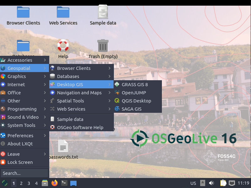
New OSGeo-Live GIS software collection released
/OSGeo-Live is a self-contained bootable DVD, USB flash drive and Virtual Machine based upon Ubuntu Linux that is pre-configured with a wide variety of robust open source geospatial software. The applications can be trialled without installing anything on your computer, simply by booting the computer from the DVD or USB drive. The lightening overview introduces all these applications, and hence provides a comprehensive introduction to the breadth of Geospatial Open Source.
http://live.osgeo.org

Highlights
50 Quality Geospatial Open Source applications installed and pre-configured
Quality free world maps and geodata
One page overviews and quick start guides for all applications
Overviews of key OGC standards
Translations for Greek, German, Polish, Spanish and Japanese
Contents
Browser Clients
- OpenLayers - Browser GIS Client
- Geomajas - Browser GIS Client
- Mapbender - Geoportal Framework
- MapFish - Web Mapping Framework
- GeoMoose - Web GIS Portal
Crisis Management
- Sahana Eden - Disaster management
- Ushahidi - Mapping and Timeline for events
Databases
- PostGIS - Spatial Database
- SpatiaLite - Lightweight Database
- Rasdaman - Multi-Dimensional Raster Database
- pgRouting - Routing for PostGIS
Desktop GIS
- Quantum GIS (QGIS)
- GRASS GIS
- gvSIG Desktop
- User-friendly Desktop Internet GIS (uDig)
- Kosmo Desktop
- OpenJUMP GIS
- SAGA
- OSSIM - Image Processing
- Geopublisher - Catalogue
- AtlasStyler - Style Editor
- osgEarth - 3D Terrain Rendering
- MB-System - Sea Floor Mapping
Navigation and Maps
- GpsDrive - GPS Navigation
- Marble - Spinning Globe
- OpenCPN - Marine GPS Chartplotter
- OpenStreetMap - OpenStreetMap Tools
- Prune - View, Edit and Convert GPS Tracks
- Viking - GPS Data Analysis and Viewer
- zyGrib - Weather Forecast Maps
Spatial Tools
- GeoKettle - ETL (Extract, Transform and Load) Tool
- GDAL/OGR - Geospatial Data Translation Tools
- GMT - Cartographic Rendering
- Mapnik - Cartographic Rendering
- MapTiler - Create Map Tiles
- OTB - Image Processing
- R Spatial Task View - Statistical Programming
Web Services
- GeoServer
- MapServer
- deegree
- GeoNetwork - Metadata Catalogue
- pycsw - Metadata Catalogue
- MapProxy - Proxy WMS & tile services
- QGIS Server - Web Map Service
- 52°North WSS - Web Security Service
- 52°North WPS - Web Processing Service
- 52°North SOS - Sensor Observation Service
- TinyOWS - WFS-T Service
- ZOO Project - Web Processing Service
Data
- Natural Earth - Geographic Data Sets
- OSGeo North Carolina, USA Educational dataset
- OpenStreetMap - Sample extract from OpenStreetMap
Geospatial Libraries
- GeoTools - Java GIS Toolkit
- MetaCRS - Coordinate Reference System Transformations
- libLAS - LiDAR Data Access
Other software of interest (not available Live)
- MapWindow GIS - Microsoft Windows based GIS
- MapGuide Open Source - Web Service