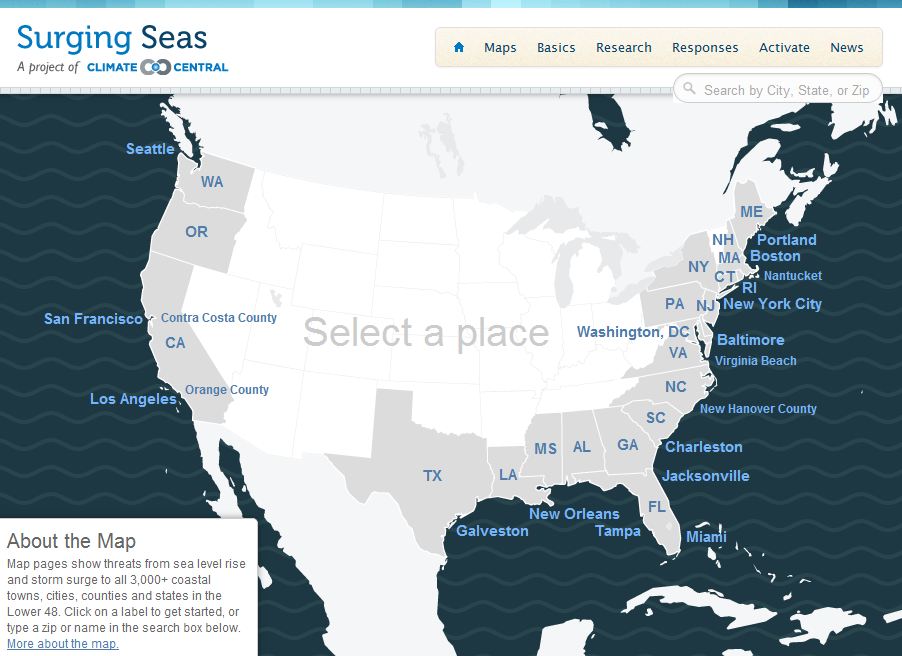
New Map Tool and Widgets: What’s Your Coastal Flood Risk?
/This new interactive website SurgingSeas, a project of Climate Central, lets you see the combined coastal flood threat from sea level rise and storm surge, town by town and city by city from coast to coast. Type in your Zip code or the name of your community, choose a water level anywhere from 1 to 10 feet above the current high-tide line, and you can see what areas might be at risk of flooding from water that high. You can also go to any one of 55 tide gauges we studied around the country, and see the odds we’ve calculated for how soon flood waters may reach different elevations as the sea continues to rise. There are gauges close to most major coastal cities. If you want to embed the map in your own blog or website, there’s a widget for that, and you can make any view your default — not just the national one. - Michael D. Lemonick
