CPAD 1.9 released today: mapping protected areas in California
/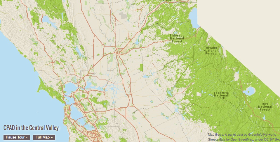 CPAD, the California's Protected Areas Database is releasing a new version. This product maps lands owned in fee by public and nongovernmental organizations for open space purposes, ranging from small neighborhood parks to large wilderness areas.
CPAD 1.9 a major update that corrects many outstanding issues with CPAD holdings data and also has many new additions, particular for urban parks.
CPAD is produced and managed by GreenInfo Network, a 16 year old non-profit organization that supports public interest groups and agencies with geospatial technology. CPAD data development is conducted with Esri ArcGIS products, supplemented with open source web application tools.
Find the data here.